Description from Raven Maps & Images
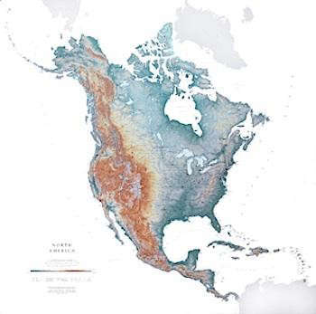
From the Aleutian Islands to the Lesser Antilles, our North America map is remarkable in its detail. The map displays glaciers, mountain ranges, rivers and lakes, as well as urban areas, important roads, and railroads. North America map elevations are represented by color, and this, in combination with our relief shading technique, gives the map a lush, 3-dimensional look.
North America Map Scale:1:9 million (1″=about 140 miles)
Laminated version is at $40 whereas the plain paper version is at $40.






Have a Question or Comment About This Product?
Join the conversation (0)