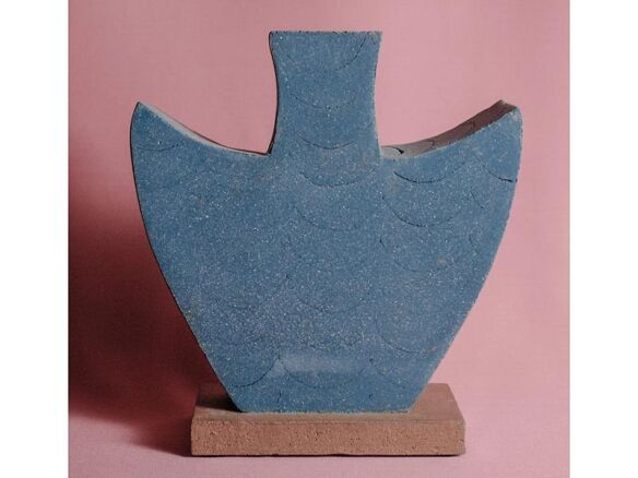
Colour Maps
Buy £20.00
The maps combine both political and physical information, including plate tectonic boundaries and a shaded relief layer. Gone are the soft pastel hues of maps depicting the old British Empire; instead, we offer a choice of contemporary colour combinations, for different tastes and environments. The map is based upon the respected Robinson projection. This presents countries of the world as a non-bias compromise between their true shape and size. It also utilises curved meridians, giving a fantastic spherical feeling to this flat portrayal of the earth.
Colour: Colour is used to highlight a country's border lines and shape.
Printing: The map is litho-printed on to a coated, silk finish paper with special colours, including metallic blue for the seas. The print is finished with a sealer to protect the inks and a gloss UV varnish is applied to the landmasses for contrast.
Details: Detail includes a shaded relief layer, plate tectonic boundaries and direction of movement, capital and major cities, rivers, roads, airports, peaks, time zones, and north/south pole projections.
Scale: 1:30,000,000 (approximately)
Colourways: Paper/Plastic/Magnetised/Framed/Magnetised & Framed
Prices range from $20.00 to $170.00
- Product: Colour Maps
- Brand: The Future Mapping Company
- Retailer: The Future Mapping Company
- Color: Multi-colored
